Monday, October 8, 2012
Hector Mine 1999 surface rupture
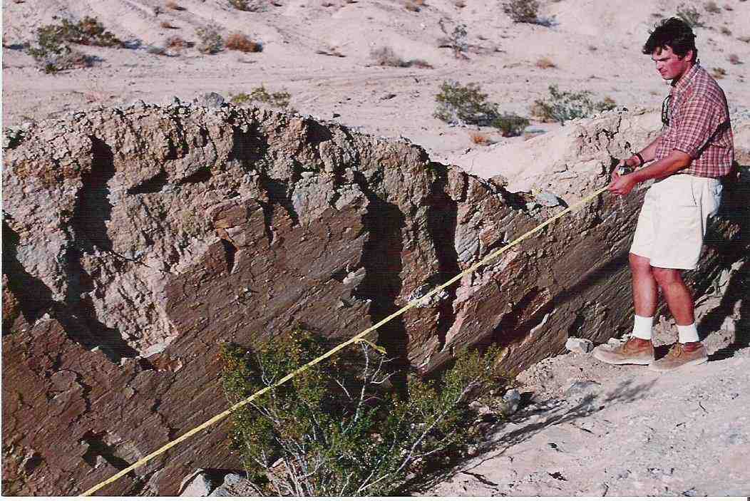
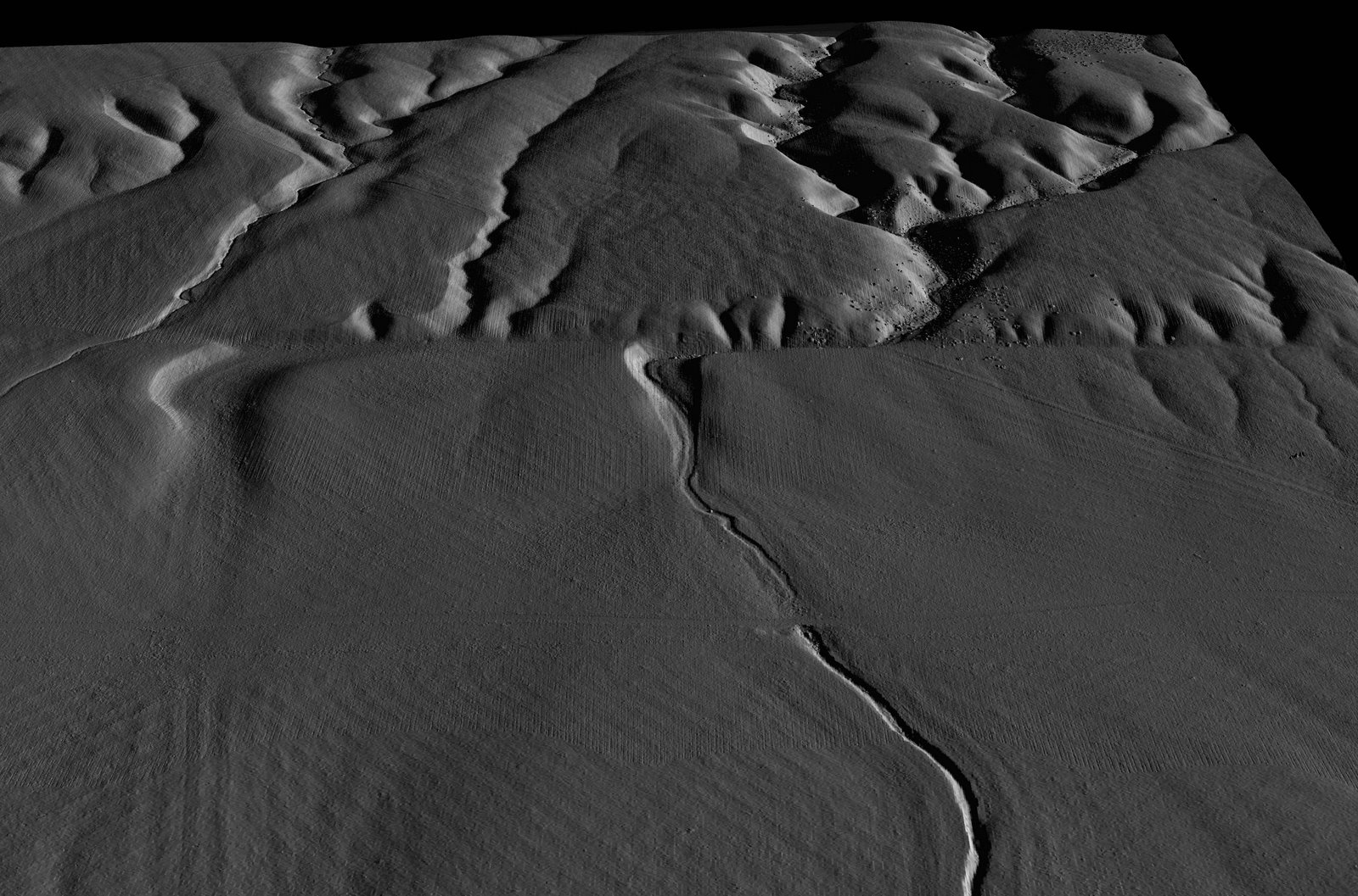
A group of us spent this past week (Oct. 1 - 5, 2012) back out at the Marine Corps Air Ground Combat Center (MCAGCC) in 29 Palms, CA re-investigating the 1999 surface faulting of the Hector Mine earthquake. We went into the Rainbow Canyon section of the base to work along the part of the fault that had the most slip. We're excited about what we discovered, including a location that seems to have had even more slip than had been measured by others back in 1999-2000. Recently, NCALM acquired new airborne LiDAR data that we'll use to compare with the original post-earthquake airborne LiDAR we obtained in April 2000. We are studying slip distribution, variation, and also fault scarp degradation processes. How landforms evolve along an active fault tells us about how long ago their last big earthquake was, and how active and hazardous a particular fault may be. Having a chance to study earthquake landform evolution in the earliest several years is especially instructive for us, and because this earthquake was on an "off limits" military base, it has actually been preserved especially well over the years. Participants this week included Prof. Joann Stock of Caltech and two graduate students, Frank Sousa & Janet Harvey, as well as Katherine Kendrick and Kate Scharer of USGS. We have taken all of the required safety training, obtained our badges for base access, and requested additional access from the MCAGCC over the upcoming months to continue these studies. This is an opportunity to use high-resolution, state-of-the-art airborne imagery to make special quantitative studies of extreme slip variation and 3D fault scarp degradation.
Thursday, May 24, 2012
B-LiDAR on the San Andreas - better than B4
Our team has just returned from successful and exciting field work, completing initial field tests of a prototype balloon-mounted LiDAR system along the San Andreas fault in the Carrizo Plain, with PI's Ben Brooks from Univ. of Hawai'i and Craig Glennie from the National Center for Airborne Laser Mapping (NCALM) at Univ. of Houston and the expert team including James Foster, Todd Ericksen and John Avery (Univ. of Hawai'i) and Darren Hauser (Univ. of Houston). Good news - the system works, the data are great! Watch Ben's 'Ignite UNAVCO' 5-minute talk, "The Balloon and the Lidar."
Thursday, April 26, 2012
Talk at annual meeting of the CRWUA
I was invited to speak at the annual meeting of the Colorado River Water Users Association (CRWUA) regarding the 2010 El Mayor - Cucapah earthquake and its impacts on water systems. Here is the meeting agenda web site, and here is the link to video of my presentation, entitled, "Impacts of the 2010 Mexicali Earthquake, Setting the Stage for Binational Collaboration." [intro starts at 29:45, and my talk begins at 31:00 in this video]
UNAVCO "ignite" talk video
The UNAVCO "ignite" session videos are on-line, including the one from the talk I gave called, "Insights from the rare & extreme global earthquakes of 2010 and 2011." If you have 5 minutes, please go ahead and watch this, and let me know what you think. If you like the format, you can watch everyone elses' "ignite" talks by navigating from this page. I hope you enjoy it - maybe we can do "ignite" sessions at other upcoming meetings, if people like this format.
Subscribe to:
Posts (Atom)


